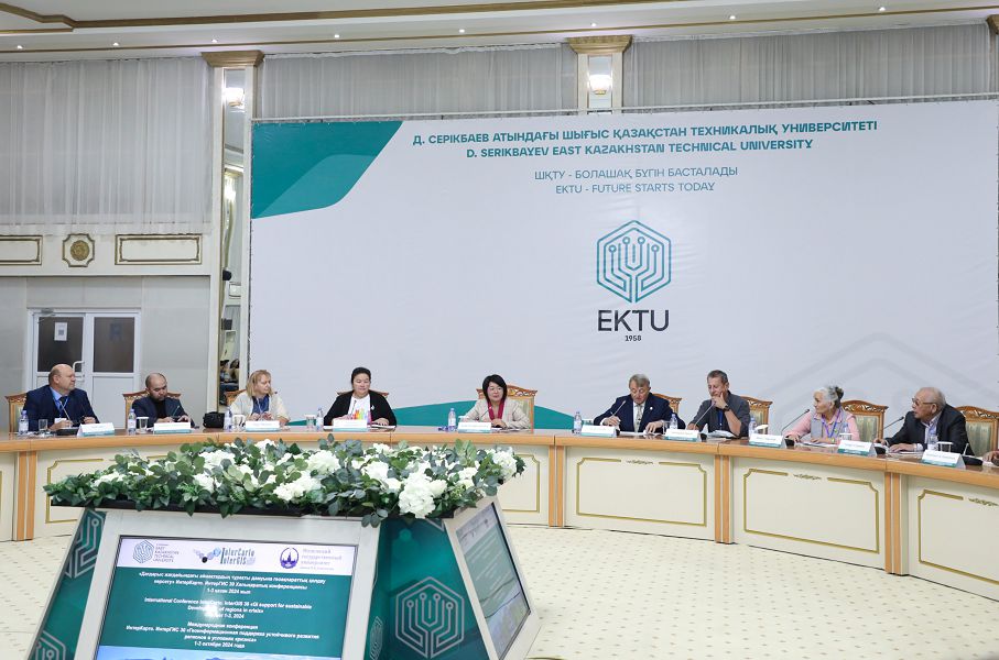
InterGIS 30 “Geoinformation support for sustainable development of regions in the context of crisis “.
This scientific event has gathered a number of specialists and scientists from different countries to discuss topical issues of geoinformation technologies application in various fields. The conference will last three days, during which the participants will share their experience and insights in geographic information systems (GIS), application of artificial intelligence and data analysis. Special emphasis is placed on solving problems of sustainable regional development in the context of natural and technological crises.
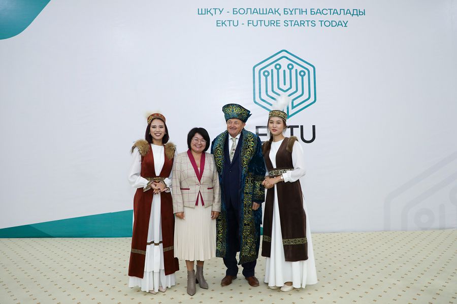
The task of geoinformation support for sustainable region development in crisis conditions acquires special significance in modern realities, when environmental and socio-economic challenges require integration of scientific knowledge and technologies. The conference covers a wide geographical area including participants from Kazakhstan, Czech Republic, Germany, USA, Saudi Arabia, Russia, and Uzbekistan. I am glad to welcome all the participants,’ Saule Rakhmetullina, Chairperson of the Board-Rector of Serikbayev East Kazakhstan Technical University, said at the opening ceremony.
Several reports have already been delivered at the conference: “Atlas information systems: design, creation, and application”; “Development of digitalisation in the East Kazakhstan region”; “Monitoring of engineering structures with GIS and methods of artificial neural networks “;”‘Mobile scanning syste”’.
Also a round table on “Using GeoAI and global initiatives to solve problems related to geospatial information and natural disasters” took place, where participants discussed their projects and developments. Cases on prevention and elimination of natural emergencies, such as avalanches and mudflows, as well as experience in the application of remote sensing data and GIS-technologies in the Republic of Kazakhstan were presented.
In turn, EKTU scientists presented their unique projects at the conference, including “Analytical system for forecasting flooding of territories during seasonal floods” and “Development of an automated avalanche danger system”. These innovative developments are already being applied at the regional level, thus contributing to the forecasting and prevention of natural disasters.
The conference is still ongoing, and many more interesting reports, discussions and exchange of experience in geoinformation technologies await the participants.


